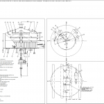
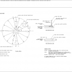
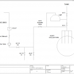
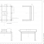
Virtual CAD Drafting offered
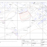
CATEGORIES- GIS Services and Cartography – data capture, edgemetching, Ordinance Survey licenced data downloads, registration of titles with the Land Registry, WGS 84 digital data and topography layer manipulation.
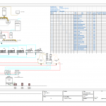
- Electrical Services – O & Ms, digital and analogue electronic schematic drawings and wiring diagrams, Bills of Material.
- Environmental and Hydrography Services – capture and production of survey drawings.
- Plotting A4 to A0 size, posting materials to the required customer address.
